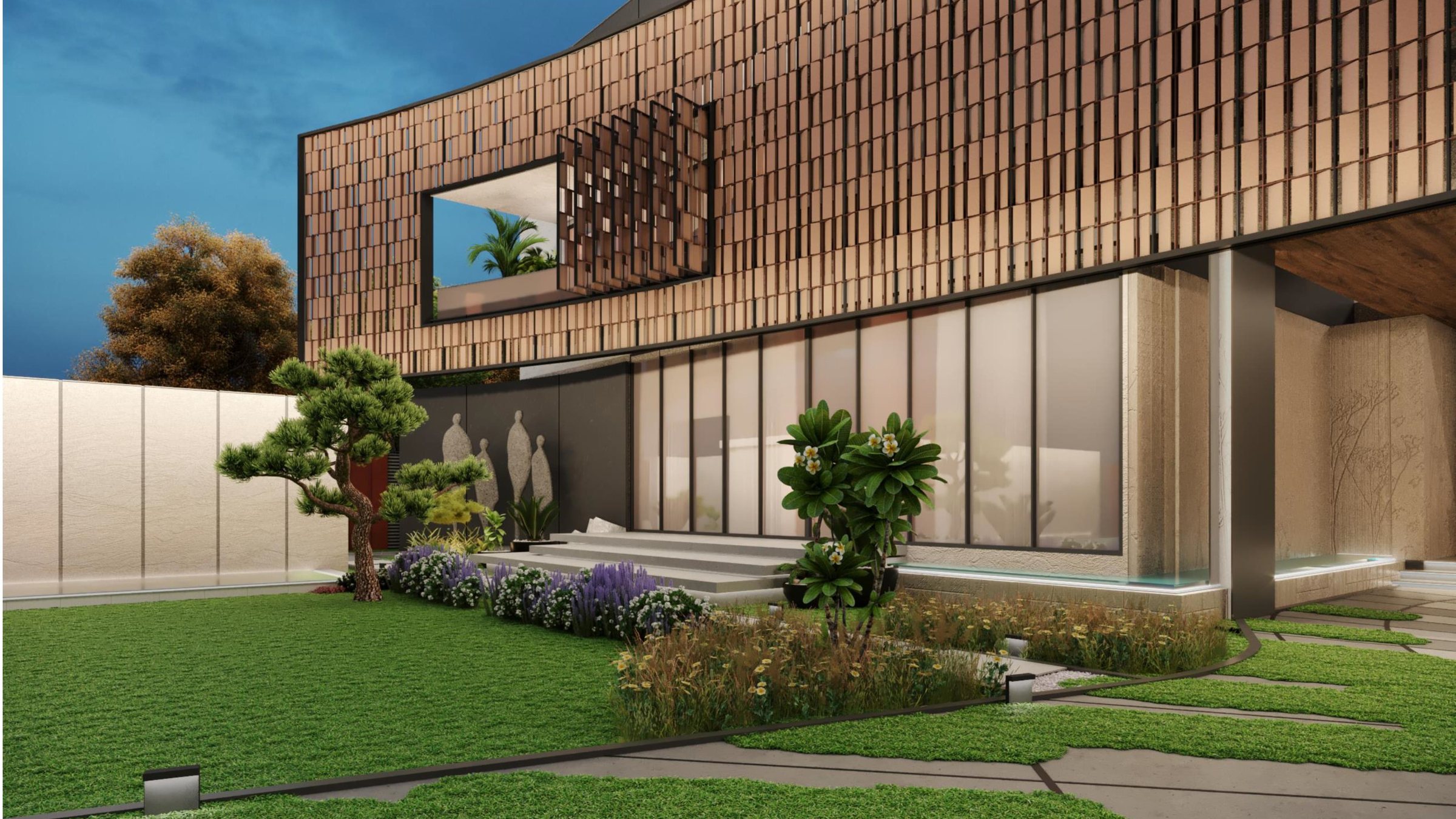
A multidisciplinary practice shaping landscapes, buildings and cities — from investigative design through technically grounded delivery.
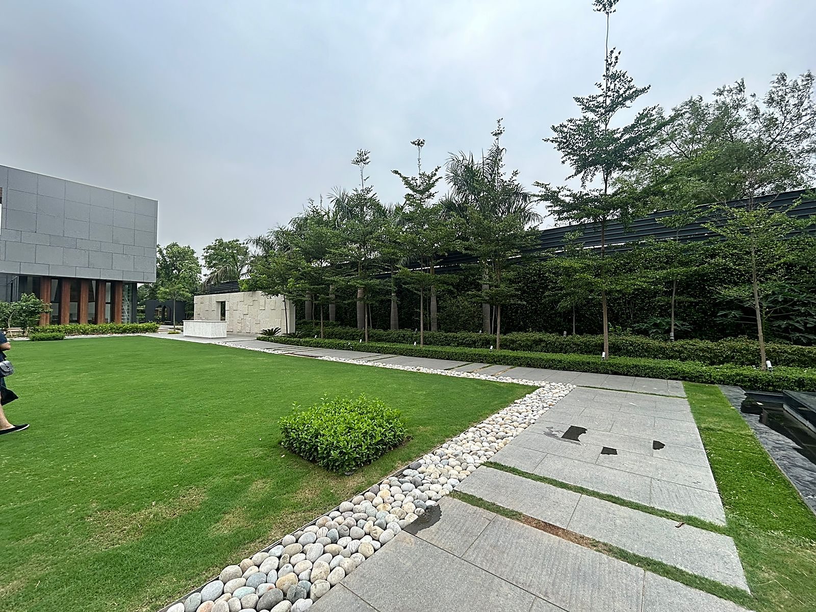
Twin Studio is a multidisciplinary firm specializing in landscape architecture, urban planning, GIS and drone-based topographical surveying. Our approach is rooted in investigative design — bringing together the needs of a site and its users to develop tailored, context-specific solutions.
Each project is crafted to be beautiful, functional, ecologically responsible and memorable, drawing from the local landscape, climate and culture.
“The process of design must focus on both the concept and the user. One without the other is meaningless.”
More about usLandscape, architecture, planning and survey handled together — so design intent survives all the way to the ground.
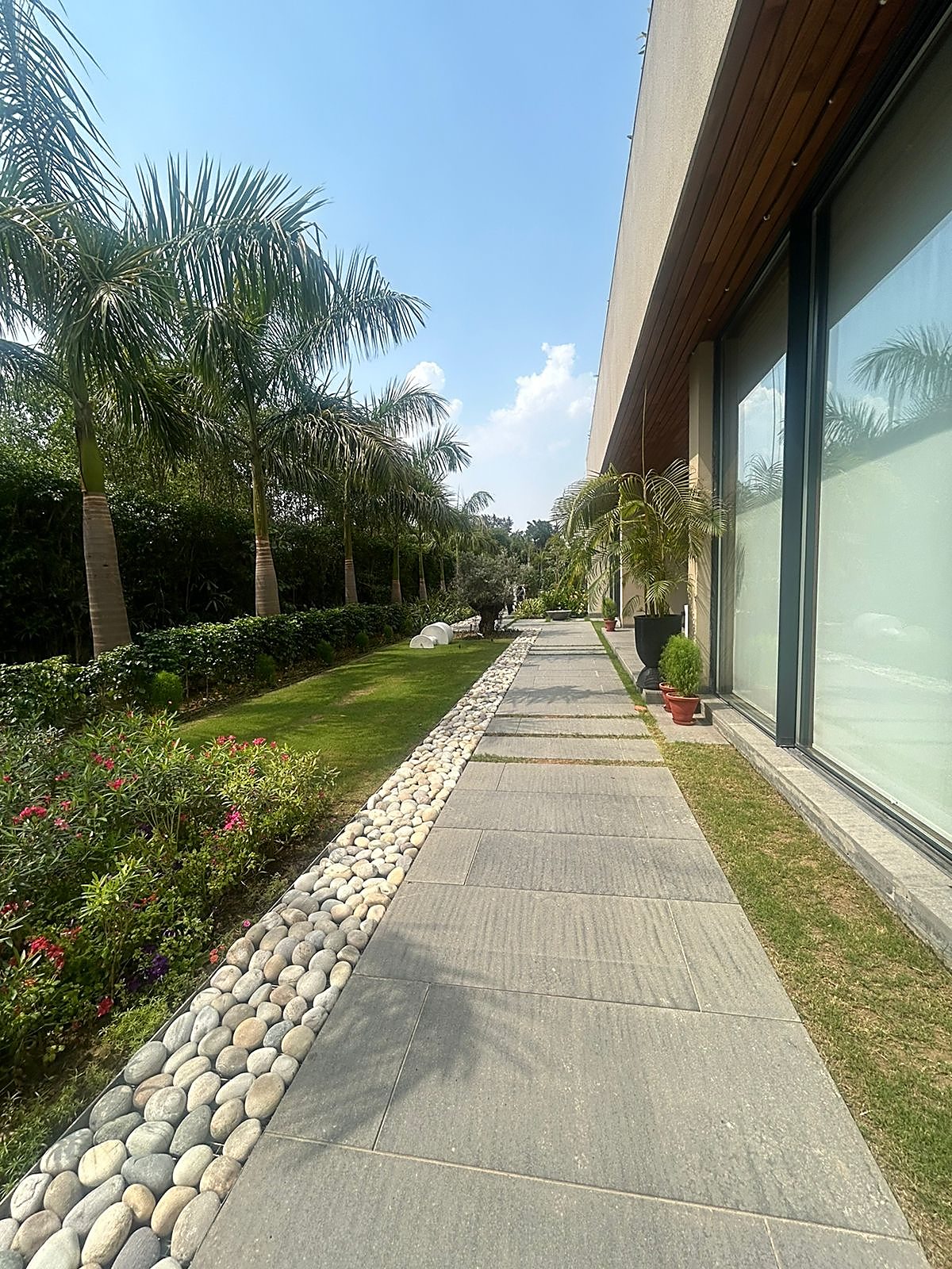
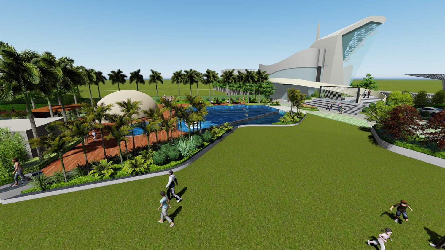
Farmhouses, residences, parks, hospitality and rooftop gardens designed for climate and context.
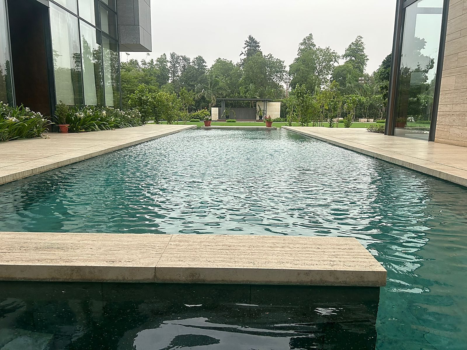
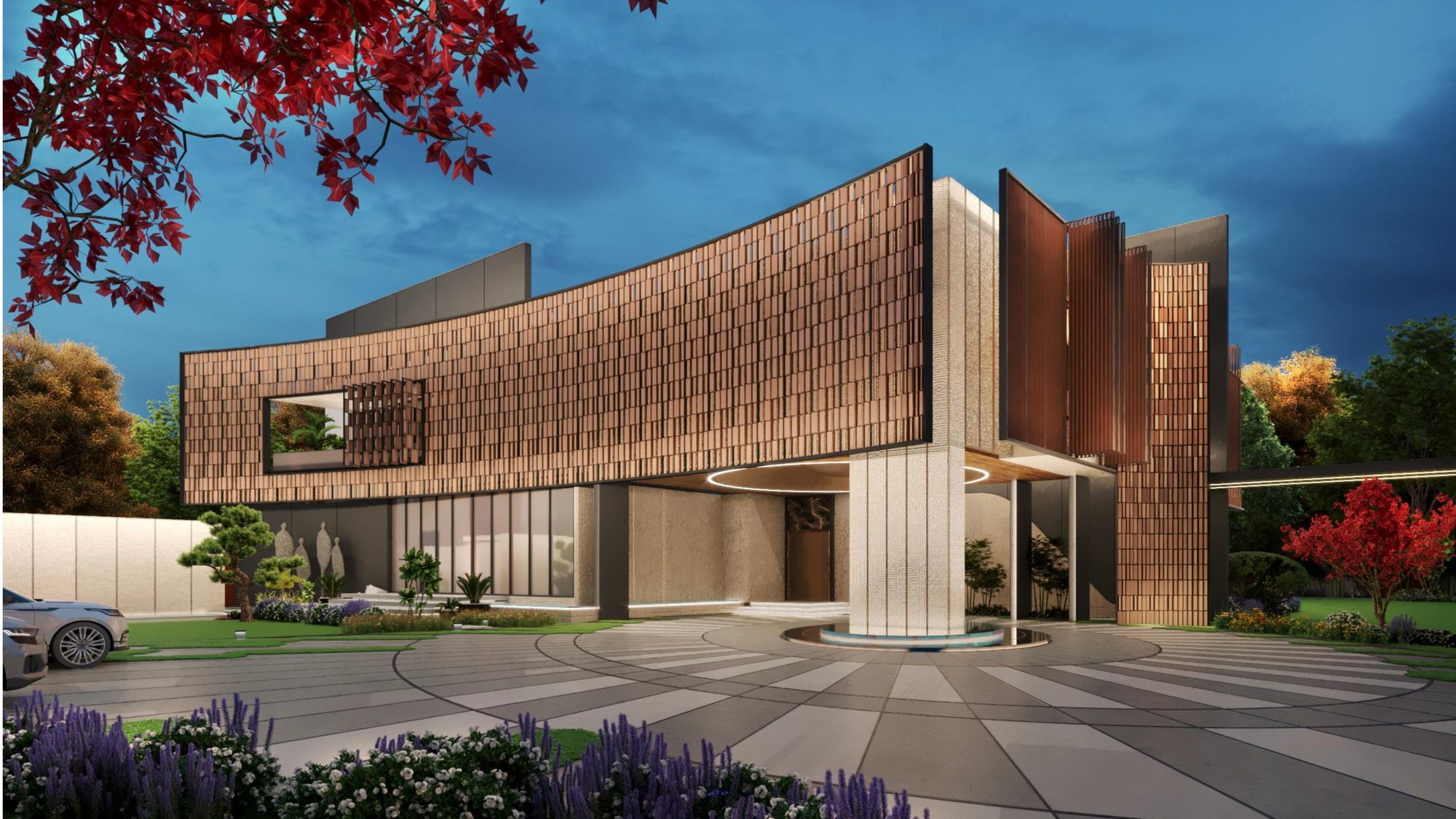
Contemporary residential and commercial design that balances luxury with the natural canvas.
Master plans and comprehensive planning for districts, townships and public realm.
Spatial analysis and mapping that ground decisions in real site data.
Drone-based topographical surveying for accurate, fast site intelligence.
Experience centers, stalls and retail environments built around movement and story.
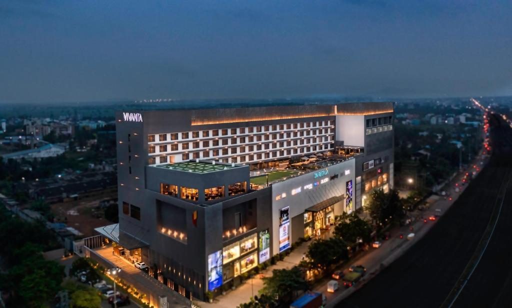
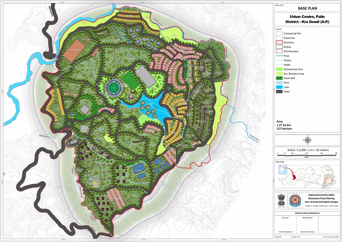
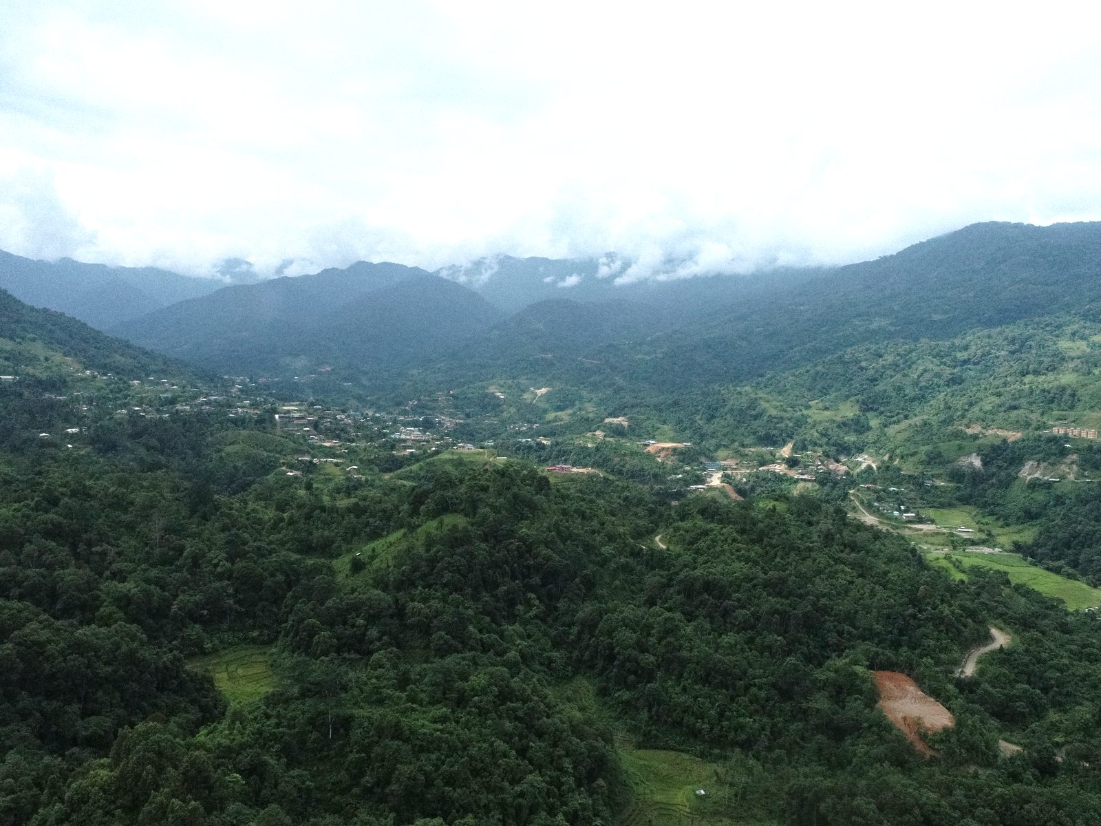
We pair design intuition with hard site intelligence. Drone-based topographical surveys and GIS analysis let us read a landscape precisely — slope, drainage, vegetation, context — before a single line is drawn.
Tell us about the place and the people who’ll use it. We’ll bring the design, the data and the discipline to realise it.
Start a conversation